While Vancouver Island overall didnBดฮิชนูอ๘อ๘ึทt quite get the big blast of snow originally predicted this past weekend, weBดฮิชนูอ๘อ๘ึทre not quite out of the (winter) woods yet, warns a meteorologist for Environment Canada.
Lisa Erven said the past few days have seen a shift to more seasonal weather patterns as an arctic front has remained mostly in the Yukon and in the northern parts of the province.
Bดฮิชนูอ๘อ๘ึทBut that said, we are seeing a shift in the overall weather pattern to cooler weather and lower snow levels,Bดฮิชนูอ๘อ๘ึท she added.
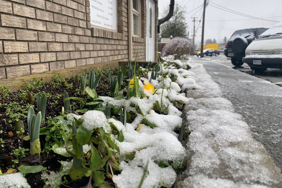
Depending upon elevation levels and proximity to the water, parts of Vancouver received anywhere from a dusting to around 15 cm of snow Sunday (Jan. 24), with more arriving on Jan. 27. Erven explained the potential for the system to bring snowfall was there, and certain pockets of the Island did receive significant snowfall, such as Campbell River (15cm) and Highway 19 near Woss (13cm). For skiers and snowboarders, Mount Washington received 18cm throughout the weekend.
Erven said throughout this week, temperatures will stay around seasonal, with some pockets of precipitation that could turn to snow depending on the location. Normals for this time of year are highs of 6 C and lows around 0 C.
Bดฮิชนูอ๘อ๘ึทTemperatures are slightly below normal for today with a low-pressure system south of us. ThereBดฮิชนูอ๘อ๘ึทs over a 60 per cent chance of flurries and rain showers overnight so travellers should be prepared for winter conditions first thing (Thursday) morning. Once we get through the next 24 hours, we should be in for a bit of a break before the next weather system comes in.Bดฮิชนูอ๘อ๘ึท
Temperatures are not expected to quite get close enough for snow in Greater Victoria, but they might in some of the east coast communities further north.
She noted beginning Friday afternoon, another system is set to settle into the area, not allowing much of a break, however, the majority of precipitation is predicted to be rain.
Highs north of Malahat this weekend are predicted to be about 6 C with overnight lows on Saturday at 1 C. Erven added as of today, there is a chance due to a cooldown Sunday night, where the area could see some periods of snow.
Bดฮิชนูอ๘อ๘ึทItBดฮิชนูอ๘อ๘ึทs winter; weBดฮิชนูอ๘อ๘ึทve got to get through it together.Bดฮิชนูอ๘อ๘ึท
For more news from Vancouver Island and beyond delivered daily into your inbox, please
photos@comoxvalleyrecord.com
Like us on and follow us on


